NCEP WRF-ARW hires North America
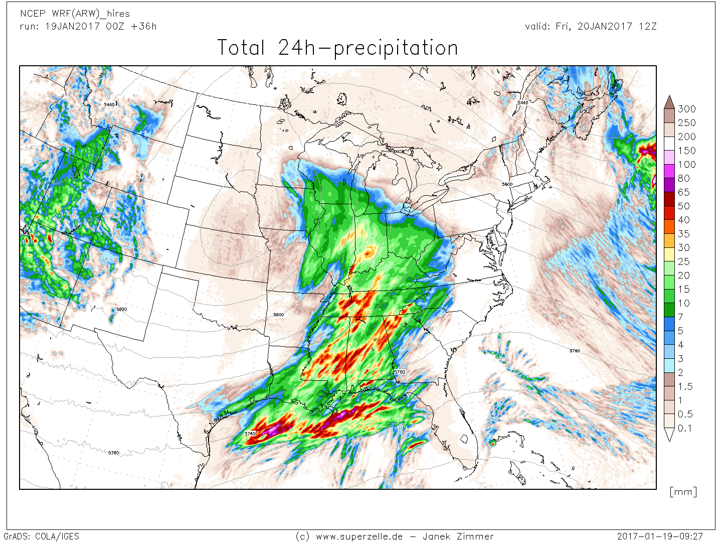 Forecast maps with 5 km resolution for the coming 2 days (48h)
- domain: Eastern CONUS plus Eastern Rockies
- 00Z run only (at the moment)
- incl. pseudo-satellite images, TStorm compos. maps
featured times (all maps):
+06h |
+12h |
+18h |
+21h |
+24h |
+27h |
+30h |
+36h |
+42h |
+48h |
More forecast maps
Miscellaneous maps
Thunderstorm composite map archive
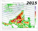 created from 3h forecasts (GFS), valid for 15UTC
- MLCAPE, moisture convergence and different levels' wind vectors
- convective season only, archive from 23rd May 2008
past years:
2008 |
2009 |
2010 |
2011 |
2012 |
2013/14
Monthly precip. sums and temperature maps
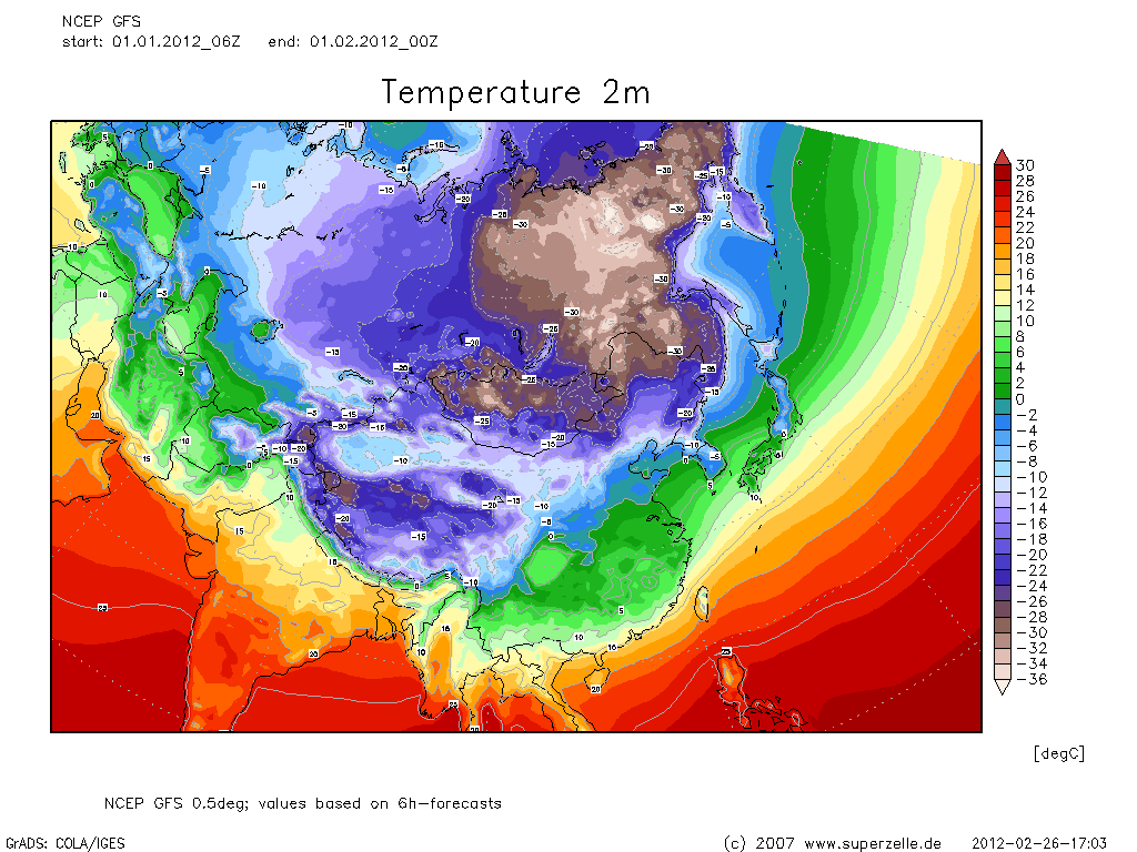 Monthly precipitation sums and 2m average temperature worldwide
- created from individual 6h forecasts of GFS master run
- maps for different regions, as well as time-series (meteograms)
2008:
JAN
FEB
MAR
APR
MAY
JUN
JUL
AUG
SEP
OCT
NOV
DEC
2009:
JAN
FEB
MAR
APR
MAY
JUN
JUL
AUG
SEP
OCT
NOV
DEC
2010:
JAN
FEB
MAR
APR
MAY
JUN
JUL
AUG
SEP
OCT
NOV
DEC
2011:
JAN
FEB
MAR
APR
MAY
JUN
JUL
AUG
SEP
OCT
NOV
DEC
2012:
JAN
Map gallery and special events
- Gallery of WRF/GFS/Station maps, collected over the years...
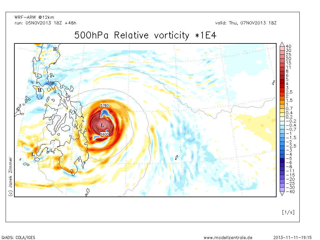
- WRF: Supertyphoon Haiyan Philippines (08-11 NOV 2013)
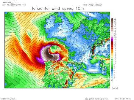
- WRF: Storm Klaus over Bay of Biscay (24th JAN 2009)
Model orographies
 Orography heights of different models and regions
- WRF (modellzentrale.de)
- GFS
- NCEP WRFhires

